Google Maps for Android and iOS is getting a bunch of new features that will help users plan their trip, save money, and discover new destinations.
Among other enhancements, there are now predicted toll charges and a more detailed navigation map that includes traffic lights and stop signs along users path.
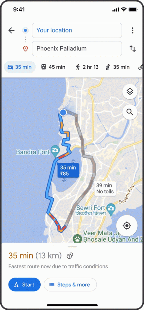
The new toll costs feature expands on the existing “Tolls” indicator that appears when you draw out a route, adding an estimate of how much your total tolls will be based on trusted information from local tolling authorities. On your Maps settings, you’ll still be able to choose a toll-free route or opt out of seeing routes with toll roads altogether. This feature is explained by Google as follows:
“We look at factors like the cost of using a toll pass or other payment methods, what the day of the week it is, along with how much the toll is expected to cost at the specific time you’ll be crossing it.”
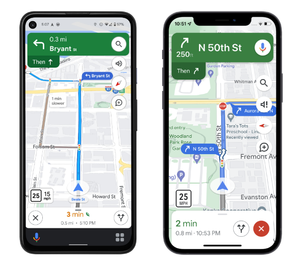
Google Maps seeks to improve navigation by adding more features including clearly visible stop signs and traffic signals, as well as building outlines and points of interest. In certain cities, maps also show the shape and width of a road, as well as medians and islands.
On iOS, Google will include new features such as a home screen “pinned trip” widget, the ability to start navigation from an Apple Watch, and direct integration with Spotlight, Siri, and the Shortcuts app. The other iOS updates will be accessible in the coming months, but toll charges will be available this month in the US, India, Japan, and Indonesia, with more countries to follow. In the next few weeks, the new navigation map for Android and iOS, as well as Android Auto and CarPlay, will be accessible in select countries.
Before you can receive free updates, link building strategies or SEO tips you need to confirm your email right now.
(It’s easy)
Just go to your inbox, open the confirmation email from the SIA, and click the link.
And that’s it!
PS: If you don’t see a confirmation email, please check your spam/junk or promotions folders. Sometimes the confirmation message ends up there by mistake.
Obtenez nos 7 études S.I.A. les plus controversées qui feront trembler la tête même les SEO les plus avancés d’incrédulité.
De plus, nous vous alerterons lorsque nous publierons de nouveaux tests au public.
Obtenga nuestros 7 estudios S.I.A. más controvertidos que harán que incluso el SEO más avanzado sacuda la cabeza con incredulidad.
Además, le avisaremos cuando publiquemos nuevas pruebas al público.
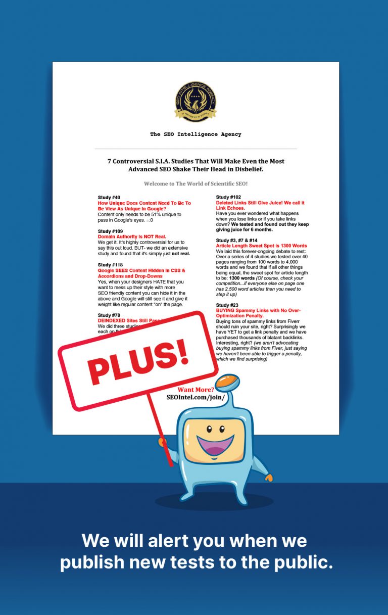
Get Our Most 7 Controversial S.I.A. Studies That Will Make Even the Most Advanced SEO Shake Their Head in Disbelief.
Plus we will alert you when we publish new tests to the public.